Smart Material Management with High-Precision Drone Mapping
From stockpile measurement to ongoing site tracking,
Triple C Aero helps you stay accurate, on budget, and
ahead of schedule.
01.
Eliminate Guesswork
Stop estimating with buckets and clipboards. Our high-precision drone mapping gives you exact material volumes—so you can manage inventory, prevent overbilling, and keep your numbers clean.
02.
Fast, Local, Licensed
Led by licensed pilot Clint Carter, we provide flexible scheduling, fast turnarounds, and dependable service across Minnesota—whether it’s a one-time scan or routine monthly tracking.
03.
Data You Can Use
We don’t just fly and drop files. We deliver clear, actionable reports, 3D models, and visuals that make it easy to track progress, spot trends, and communicate with your team or stakeholders.
Guessing Costs You More Than You Think
When you’re relying on estimates or outdated measurements, you’re not just off by a few numbers—
you’re risking your budget, your timeline, and your reputation.
Manual counts are slow, inconsistent, and often wrong.
Overbilling or underestimating can damage client trust.
Lack of clear site data leads to delays, disputes, and rework.
Your team wastes time tracking down problems instead of solving them.
You didn’t sign up to spend your day double-checking piles or guessing what’s been moved. You need data you can trust—delivered fast, without interrupting your job site.
Triple C Aero helps you ditch the guesswork and run your project with confidence.
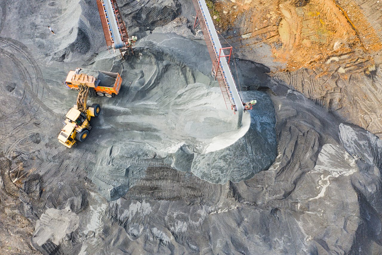
What We Deliver
Accurate Data. Clear Visuals. Smarter Decisions.
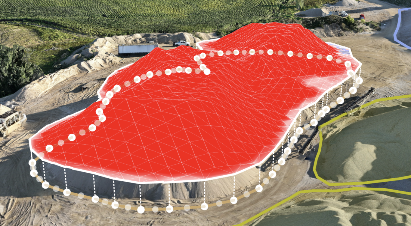
Volumetric Drone Mapping
We measure stockpiles of dirt, gravel, sand, and stone with accuracy you can trust—turning them into detailed 3D models and volume reports.
→ Perfect for inventory audits, billing confidence, and job site planning.
Progress Monitoring
Our ongoing scans (weekly, monthly, or milestone-based) help track site changes and material movement over time—keeping your teams aligned and your records accurate.
→ Gain visibility across long-term projects without disrupting your crew.
Aerial Visuals
Get high-resolution images and smooth, cinematic drone video to showcase your work, document progress, or keep stakeholders informed.
→ Professional visuals from the same site visit that gives you the data.
Who We Help
Supporting the Operators Who Keep Projects on Track.
Construction companies tracking earthwork or backfill
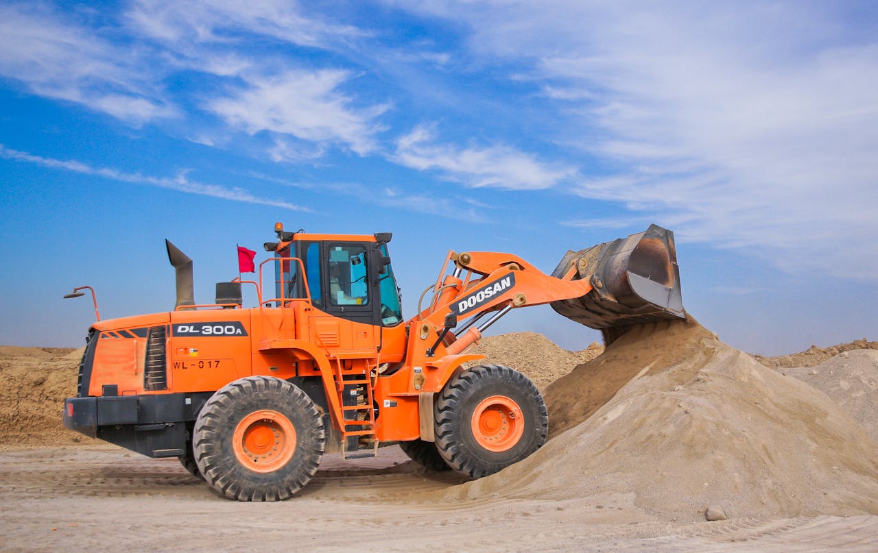
Material yards & quarries managing inventory
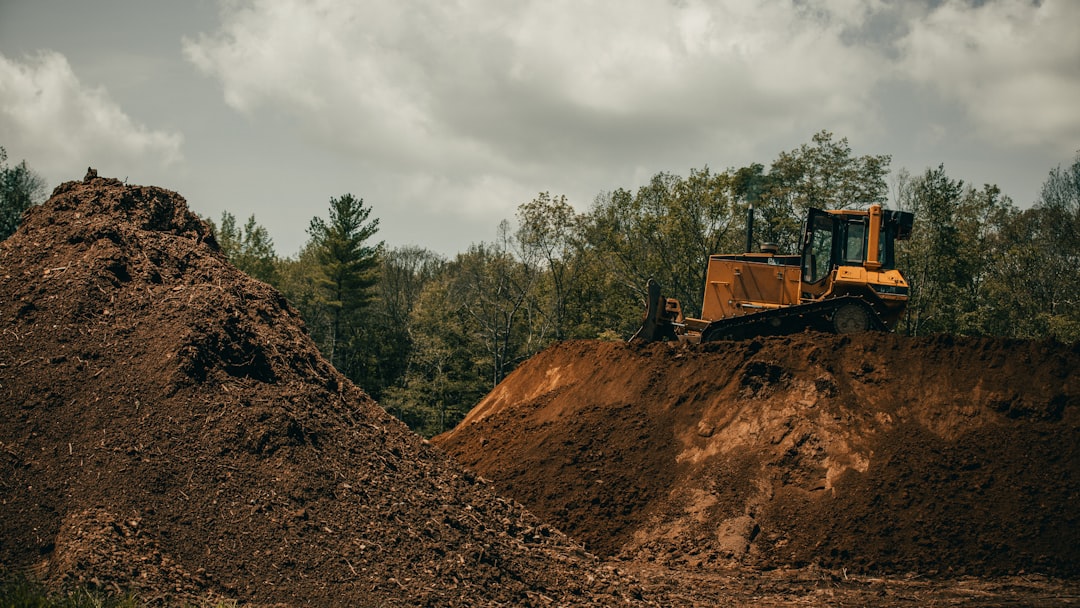
Excavation crews verifying cut/fill totals

Site managers creating monthly or end-of-phase reports

Contractors needing accurate documentation and visuals for clients
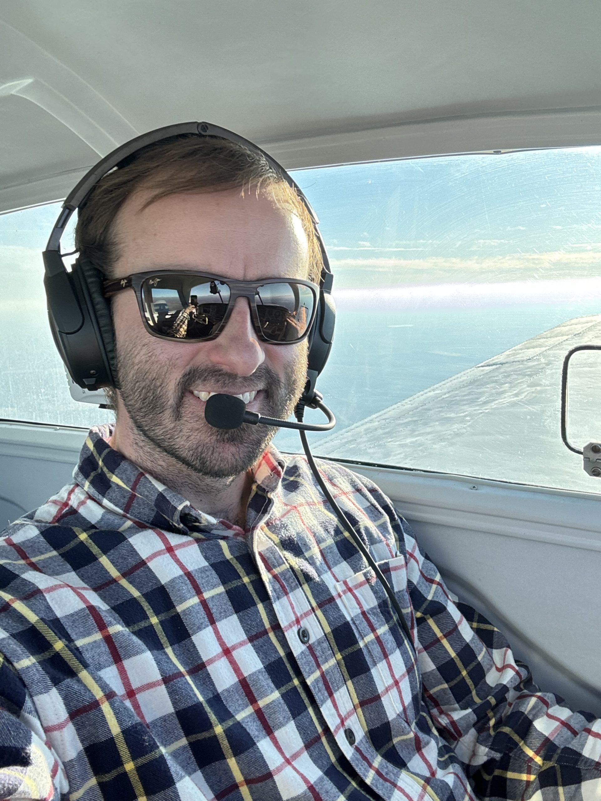
Meet The Pilot Behind the Data
Triple C Aero was founded by licensed pilot Clint Carter, a Minnesota native who combines a lifelong passion for aviation with a practical understanding of job site challenges.
From construction yards to excavation zones, Clint saw how often teams were forced to rely on guesswork. That’s why he created Triple C Aero—to provide high-precision drone mapping and aerial visuals that are fast, accurate, and easy to use.
With Clint, you don’t just get a drone operator—you get a hands-on partner who understands your needs and delivers the data that keeps your project moving.
Let's Put The Right Numbers In Your Hands
Whether you need a single scan, regular tracking, or visuals to tell your project’s story, Triple C Aero helps you work smarter, safer, and with full confidence
in your data.
